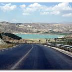
| Road from Konya to Beyþehir | |||||||||||
|
|||||||||||
|
|||||||||||
| Turkish Dictionary |
|---|
|
Turkish Chat |
|---|
| New in Forums |
|---|
|
Intermediate (B1) to upper-intermediate (B...
qdemir: ... |
|
Why yer gördüm but yeri geziyorum
HaydiDeer: Thank you very much, makes perfect sense! |
|
Etmeyi vs etmek
HaydiDeer: Thank you very much! |
|
Görülmez vs görünmiyor
HaydiDeer: Thank you very much, very well explained! |
|
Içeri and içeriye
HaydiDeer: Thank you very much for the detailed ... |
|
Present continous tense
HaydiDeer: Got it, thank you! |
|
Hic vs herhangi, degil vs yok
HaydiDeer: Thank you very much! |
|
Rize Artvin Airport Transfer - Rize Tours
rizetours: Dear Guest; In order to make your Black Sea trip more enjoyable, our c... |
|
What does \"kabul ettiğini\" mean?
HaydiDeer: Thank you very much for the detailed ... |
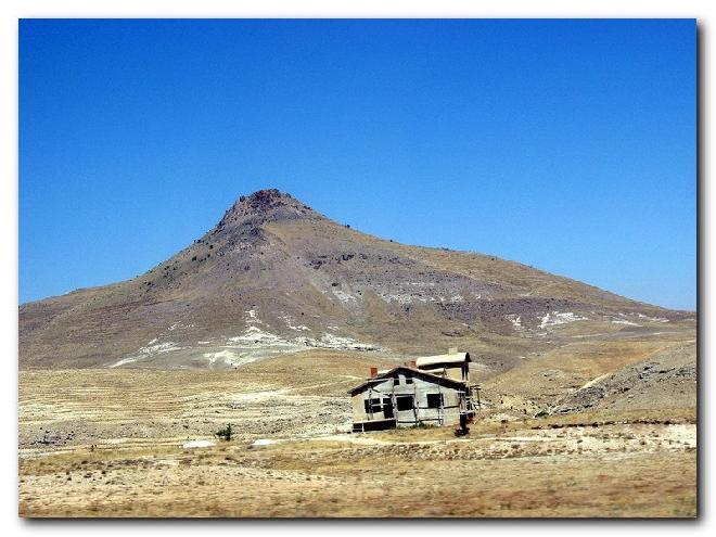
| Random Pictures of Turkey |
|---|
| Most liked | |
|---|---|
 |
Major Vowel Harmony
Turkish lesson by admin Level: beginner |